Oil and gas exploration Refinery. Well testing, refinery, and transportation
Offshore Cutaway Diagrams
Offshore Cutaway Diagrams
Offshore drillers and producers know the stakes get much higher once you leave the shoreline. Our offshore oil and gas graphics allow you to visually communicate your deepwater operations and environment for participants and executives back on land.
 |  |  |
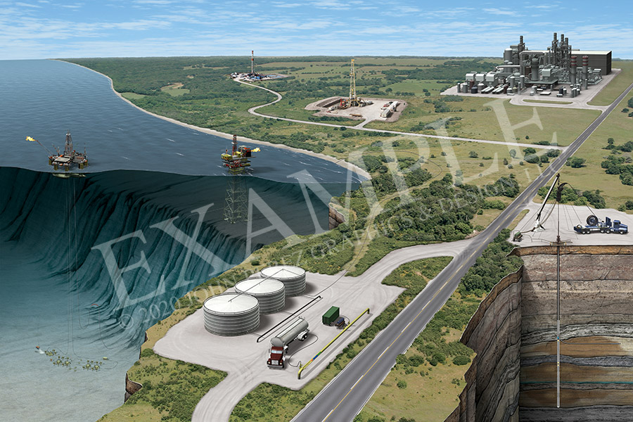
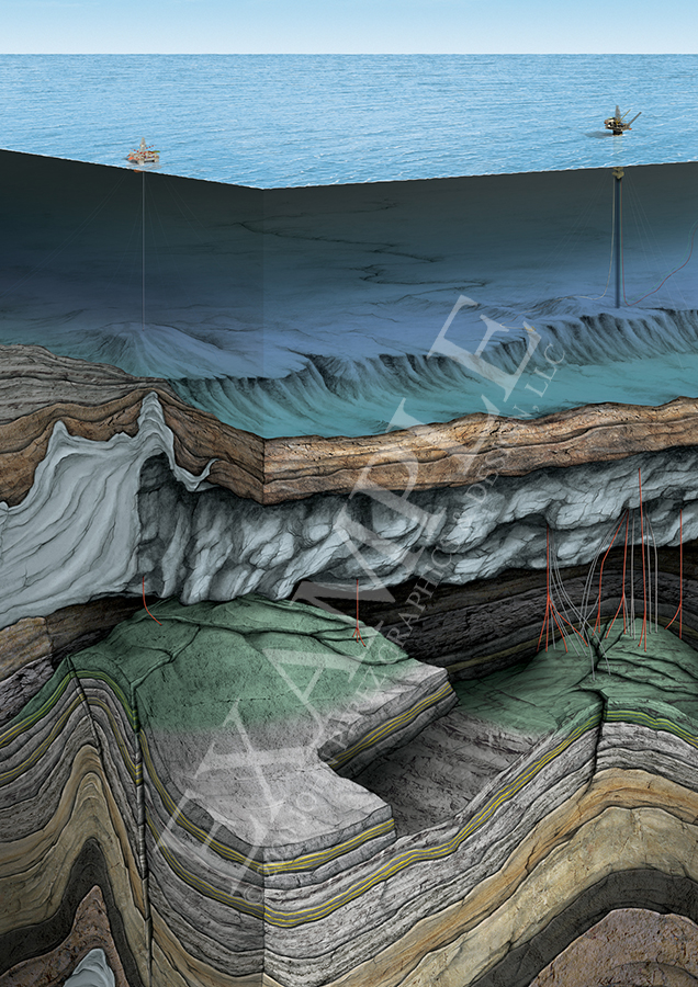
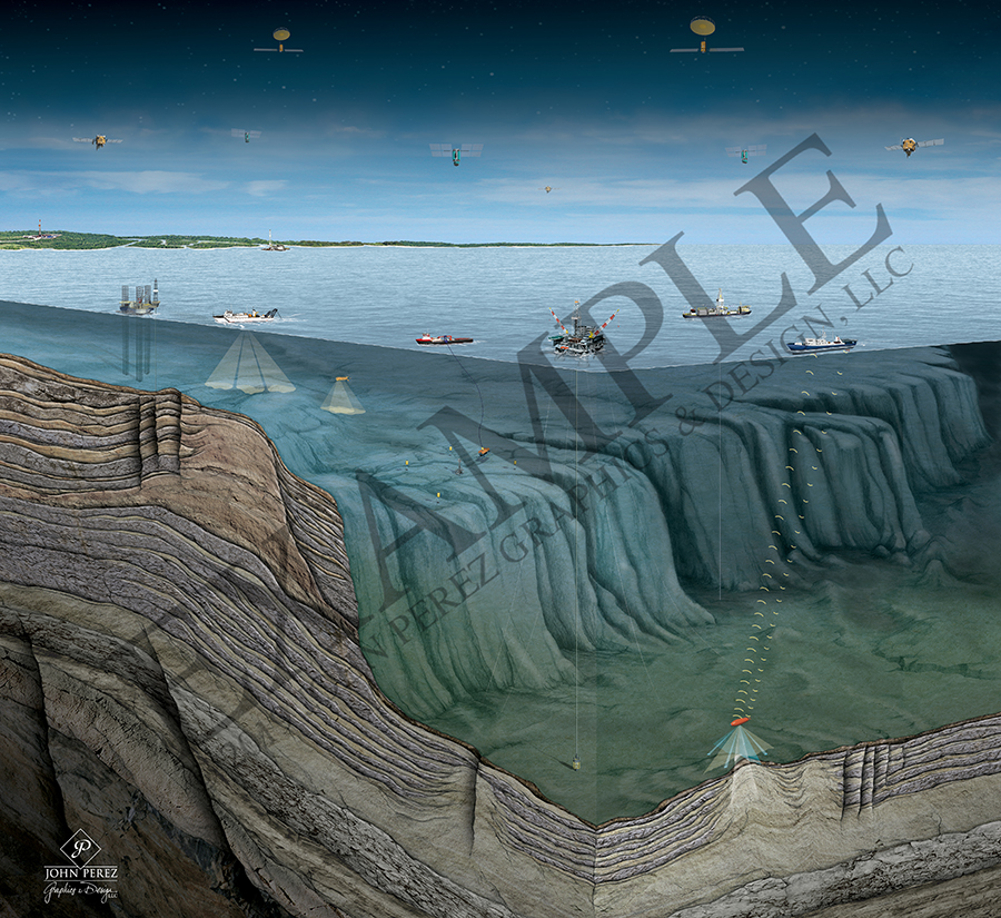
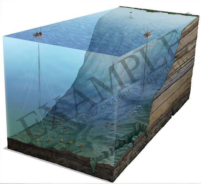
Offshore and Onshore Field Development Diagram | Offshore Production Platforms Cutaway DiagramGulf of Mexico Shelf – Overlying Salt Trap – Oil and gas exploration in a faulted oil reservoir. | Offshore Technologies Oil and Gas Cutaway DiagramThis oil and gas graphic illustrates offshore vessels such as a jackup, semisub, and drillship over a deepwater shelf. |

Custom Cutaway Diagrams. No hand-holding needed.
With our experience in the oilfield, we understand your visual needs. Our background isn’t just sitting behind a computer and copying someone else’s work. We have worked at refineries, on rigs and chased seismic trucks in the middle of nowhere. Been there, done that. We are the innovators, the creators. Our work is cutting edge.
So whether it’s an idea, chicken scratch on a napkin, seismic or geologic data, we can turn any of these sources into a compelling, easy to understand illustration.
That’s what we do.

Telling your geologic story for 30 years.
A long time ago…or at least before everyone had a computer, we knew we had to bridge the gap between the geological data and the people who needed to understand it—the investor, employee, client, board of directors, community member. Our GEOART was born.
We blazed the trail for beautiful technical graphics within the oil and gas industry, and are still as excited to start working on the next illustration – yours – as we were all those years ago.
Let them see what you see.
